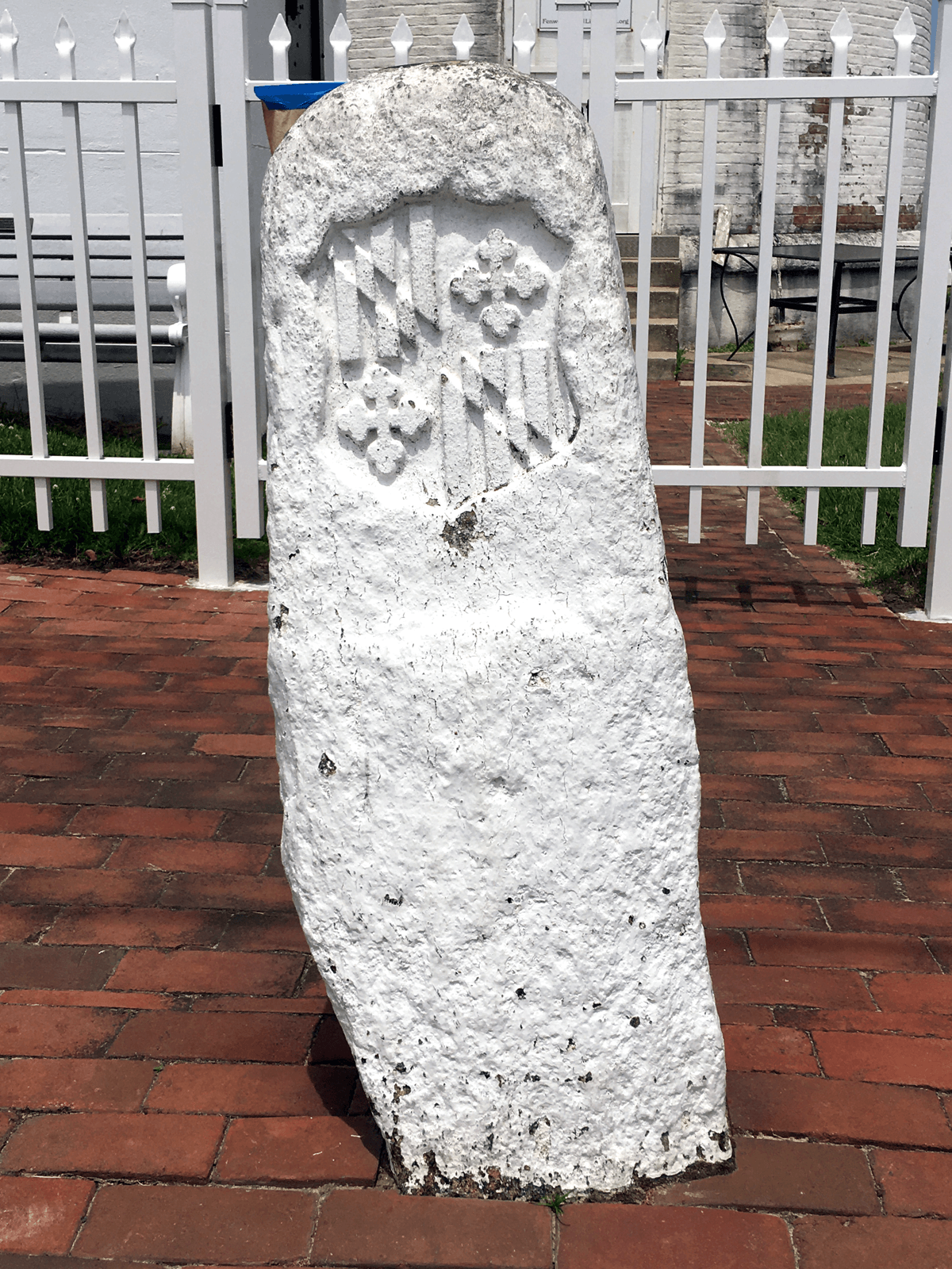
The Trans-what? Hang in there — it’s actually kind of cool. This stone marker was erected April 26, 1751 — before the United States, before Delaware, even before boardwalk fries. The year was 282 days long, New Year’s Day was March 25 and George Washington was just 19 and trying to survive smallpox.
Four guys (John Watson and William Parsons of Pennsylvania and John Emory and Thomas Jones of Maryland) had conducted a survey to determine an east-west line that would mark the boundary between the Colony of Maryland and the three lower counties of Pennsylvania (spoiler alert: those counties are now in Delaware). The stone marker has the Calvert coat of arms on the south side and the Penn coat of arms on the north because the Calverts owned the Maryland land and the Penns owned — well, you can probably guess — Pennsylvania. All this land was under British control at the time (although there were Native American nations populating these areas long before the Europeans arrived).
This Transpeninsular Line marker is located on the grounds of the Fenwick Island Lighthouse, which itself dates back to 1859. The Transpeninsular Line extends across the Delmarva peninsula from Fenwick Island to Taylor’s Island on Maryland’s Eastern Shore. Fun fact: the line splits several communities between the two states, which is how we got Delmar, Delaware and Delmar, Maryland.


